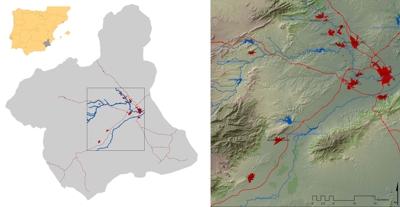
 | Location of the test area. Compiled by the authors. |
 | Digital Terrain model. Slope maps and aspect maps. Compiled by the authors. |
 | Land use map
Land use map from 1990, 2000 and 2006. Compiled by the authors on the basis of Corine Land Cover Maps. |
 | Evolution of the city of Murcia
Evolution of the urban area of Murcia (until 1956 in yellow and until 1990 in red) on Quickbird 2007 aerial photograph (Gómez and Grindlay 2008). |
 | Examples of new agro-industrial and services areas in the Guadalentín Valley. Photograph by E. Molero. |